Hardscrabble Creek is a real place, and every now and then, I like to post a photo or two from home. I found the first photo while researching something else, and I took the second one today. In both of these photos, Hardscrabble Creek runs behind the buildings farthest from the camera.

About half a mile from home, taken about 1887. The false-front building in center is A. C. Monroe’s “Cash Store.” Click image to enlarge.
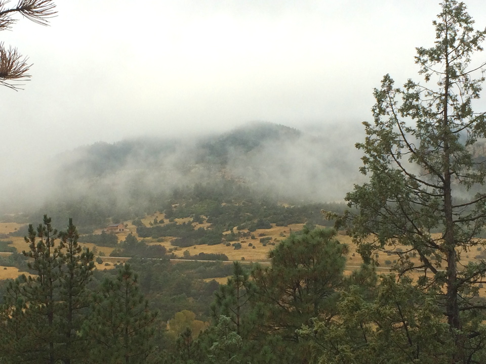
 I think the store was just to the left of the large house. The 4,800-square-foot house was built in 1989. The black tree trunk in the foreground was burned in a 2,500-acre fire in 2012 that destroyed several houses on this side of the road but missed the house shown and its neighbors on that side.
Several homes to either side of the big house (outside the photo) were built in the teens and twenties of the 20th century. Some were part of a small resort that was started to cater to the new phenomenon of automobile-driving tourists. (There is a four-part series on lost 1920s highways and old campgrounds on my other blog.)
The hillside behind the buildings is mostly private land. It was logged in the late 19th century, obviously, and due to wildfires probably had fewer, larger ponderosa pine trees before the loggers arrived.
When logging stops and fires are put out, this is what you get. Large surrounding areas did burn in 2005, 2011, and 2012, however.